- Close
16/02/2021 | Kathmandu
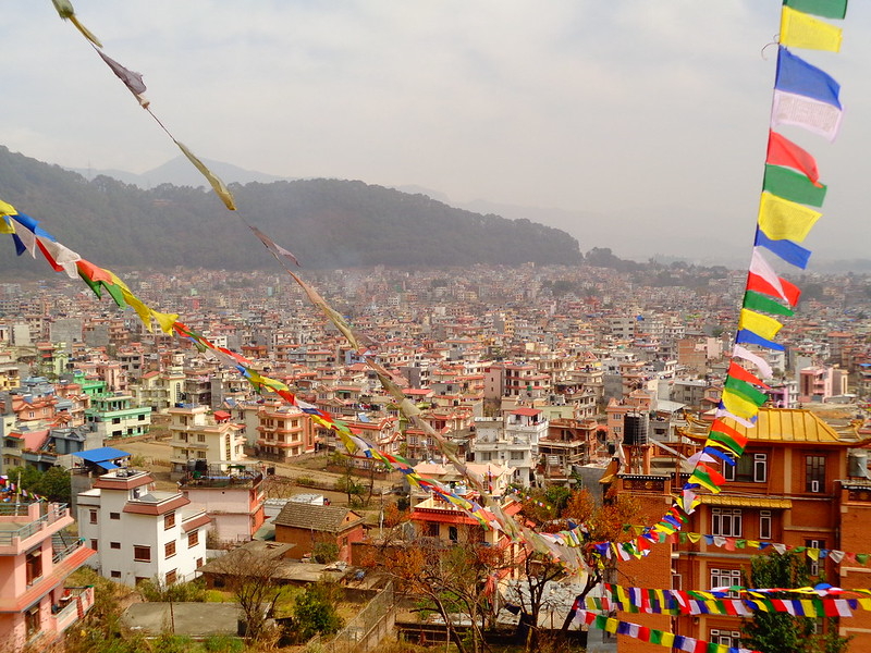
Ways to minimise flood risk in Kathmandu
Article by: Anup Shrestha and Saraswati Thapa
Share Article


Every year during monsoon season in Kathmandu the rivers swells up, inundating the lowland areas, causing damage to infrastructure and sometimes taking the lives of people in the city. As per the Nepal Disaster Report, 2019, Bhaktapur and Kathmandu district come in second and third positions respectively in terms of economic impact due to disaster. Each year floods initiated by the monsoon rain create havoc, causing millions of Rupees of damage.
The rivers responsible for flooding the lowland areas in Kathmandu Valley each year are Dhobikhola, Bagmati, Bishnumati, Nakkhu, Balkhu, Hanumante and Manohara. The incessant rain of 11 and 12 June 2018 caused inundation of houses, factories, schools and hospitals as well as blockage of roads in Bhaktapur due to swelling of the Hanumante river. Similarly, as a result of the continuous downpour from 12 July 2019, the water entered residential areas in Kalanki and Kuleshowr and the water level was raised up to 4 feet from the ground. The Nepalese Army had to use inflatable boats to rescue more than 50 people in Kalanki and Kuleshowr. On 20 August 2020, the Bagmati river entered some areas of Tripureshowr. Areas like Radhe Radhe, Thimi, Kuleshowr, Tripureshowr and Teku area are under the threat of submergence every year in monsoon.
The main causes of increased flood vulnerability in Kathmandu are:
- Rainfall: More than 80% of the annual rainfall is in monsoon season in many parts of Nepal. The torrential rainfall over an extended period of time (sometimes more than 24 hours) forces the water in the river to enter the surrounding residential areas causing great damage.
- Encroachment of people towards the river corridor: Google Earth images comparing present day and five years ago shows that the settlement along the river corridor has increased drastically increasing flood vulnerability. Near the Nakhu river housing companies have started constructing houses which might be inundated when the flow in the river is high.
- Change in land use: Research shows that the urban area in Kathmandu valley expanded up to 400% from 1989-2016, primarily into previously agricultural areas. The fast expansion of the built up areas is mainly due to large scale movement of rural to urban migration and it is evident that the built up areas are mainly concentrated along the major roads and rivers. The haphazard urbanization and carelessness in land use has resulted in residential areas at risk of flooding which were previously uninhabited.
- Insufficient size of drainage: The drainage in the core Kathmandu valley was designed and constructed many years ago and cannot drain out the water during incessant monsoon rainfall. Some places like Putalisadak, Teku, Bhaktapur get inundated as the storm waters don’t get access to the nearby rivers.
- Disturbing the natural pathway of the river: Construction of physical structures like dams, embankments and bridges in and along the river disturbs it’s natural pathway initiating flood events. In Kathmandu valley, embankments has been built in Dhobikhola, Bishnumati, Bagmati, Hanumante and Nakhu rivers. The width of some of the rivers have been constricted to 10m by construction of embankments of 3m height. Construction of such embankments narrows the natural pathway of the rivers and hence there is huge change of increase in velocity of water, which might be a cause of flooding in the downstream areas.
Every year the number of affected people has increased and there are new areas being impacted by flooding. Therefore, the increasing flood vulnerability poses a serious threat. However, establishment of real time stations inside the Kathmandu basin by Department of Hydrology and Meteorology (DHM) to observe the hourly water level in the river, as well as rainfall stations, have helped to assess the danger level in the river. As soon as the rainfall stations records extreme rainfall and hydrological stations indicate a rise in water level up to warning and danger levels, DHM warns the vulnerable areas, which could reduce casualties. The water level and rainfall can be observed in the official website of the Flood Forecasting Division. The development of Early Warning System (EWS) technology has decreased the human casualty to a huge extent.
As we can see flood management is crucial in Kathmandu to reduce the impacts to people and properties. Research has been conducted in recent years on flood forecasting and flood hazard mapping, which is the basis of flood management. However, political change, rapid urban sprawl and disaster situations provide new scenarios every year. Therefore research must be carried out to analyse different scenarios to develop comprehensive hazard mapping and identification of the vulnerable areas to minimize the risk in Kathmandu Valley.
Ways Forward:
To minimize the flood risk, the outcomes of the research must be validated, and strategies must be made to integrate them with developmental activities. The following suggestions could reduce the flood vulnerability in tomorrow’s Kathmandu:
- Development of comprehensive flood hazard maps and identification of flood hot spots and vulnerable areas.
- Raising the plinth level of houses in flood plain areas.
- Improving the drainage system.
- Preparation of multi-hazard risk profiles as well as a risk sensitive land-use plan.
- Reliable flood forecasting and the installation and monitoring of Early Warning System.
- Evacuation plan and preparedness.
- Effective utilization of disaster management funding within the governmental body.
- Mainstreaming disaster risk reduction in development.
Flood Modelling is one of the areas being researched by Tomorrow’s Kathmandu, which will develop a hazard map based on different scenario of the urban development. This can be useful for strategic planning by the local authority to lessen the impacts of the flood.
Click here to find out more about Tomorrow’s Kathmandu’s research
Photo: Silvia Martin
Share Article