- Close
04/10/2022 | Quito
How can green spaces protect communities?
Article by: Sérgio Esperancinha
Share Article


Using satellite data, researchers from the Tomorrow’s Cities Hub, analysed Quito’s recent historical urban expansion and multi-hazard risks to identify green spaces that can be used to reduce disaster risk and enhance post-disaster response.
When thinking of gardens, parks, woods, or any other open space, it is likely that our mind will conjure images and sensations that transport us to moments of leisure. Picnics, children playing ball games, a dog running after a flying frisbee, joggers and footballers, couples lying on the grass, are what most of us will probably associate with green spaces. But parks and gardens are more than just open areas where urban dwellers can enjoy their free time. As it became evident during the COVID-19 pandemic, when access to these areas was conditioned, green spaces are vital for urban health and researchers have been uncovering how important nature is on people’s mental health and well-being. Although still in its early days, the latest studies demonstrate that frequent contact with the natural world helps reducing mortality and morbidity from chronic diseases, improving pregnancy outcomes, reducing obesity, improving sleep and promoting positive social interactions. Beyond the direct positive effects on mental and physical health, green spaces also improve air quality, reduce noise and contribute for protecting biodiversity while moderating temperatures, particularly during heat waves.
There is however another aspect of green spaces that, although unnoticed, is increasingly important on sustainable urban development agendas: green spaces as promoters of disaster risk resilience. But what exactly does that mean and how are cities around the world acting on green spaces? Using Quito, Ecuador as an open-air laboratory, researchers from the Tomorrow’s Cities Hub have looked at how green spaces can be used for reducing disaster risk and in guiding the development of more resilient communities in future urban areas.
Green Spaces and Disaster Risk Reduction
When in 2015 a magnitude 7.8 earthquake rattled the Gorkha District, northwest of Kathmandu, causing nearly 9000 deadly victims, over 100 000 injured and close to 800 000 damaged or destroyed houses, green spaces were used by local authorities to set temporary camps away from collapsed and damaged buildings. In total, it is estimated that over 30 000 people were sheltered in green spaces of the Kathmandu Valley and in thousands of other smaller shelter sites that paid assistance to many more displaced victims. Other historical examples of green spaces being used as back-up areas after a disaster and recent studies show the importance of designing public open spaces that are able to provide an effective post-disaster response. Nonetheless, these areas can also emerge in response to crisis such has it happened in Cuba following the collapse of the socialist block in 1989 which led food insecurity and to people occupying several urban gardens in Havana and other cities to grow fresh produce.
Beyond disaster and crisis response, green and open spaces also play a crucial role in managing and mitigating hazards such as flooding, landslides and have been increasingly important in strategies that use nature-based solutions as a way to reduce disaster risk.

2015 Kathmandu Earthquake damage. Credit: Thomas Dutour

Satellite imags from Google Earth showing how green space was used to shelter the displaced Kathmandu population.
Quito, expanding city, growing risk
Following a global trend, Quito’s urban population has been increasing constantly since 2000 and currently the city is home to a population of over 2 million people. By 2040, Quito’s inhabitants are projected to exceed 3.4 million. This steady increase at a rate of nearly 4% per year, has led to a significant urban expansion that exceeds an annual average rate of 7% in the form of formal and informal settlements, many into hazardous areas exposed to landslides, flooding, volcanic eruptions, and earthquakes. This rising disaster risk is not only related to the geography of the city, perched between the steep slopes of the Pichincha volcano to the west and those of an active geological fault system to the east, but to the social vulnerability of the exposed communities who are often in the low-income interval.

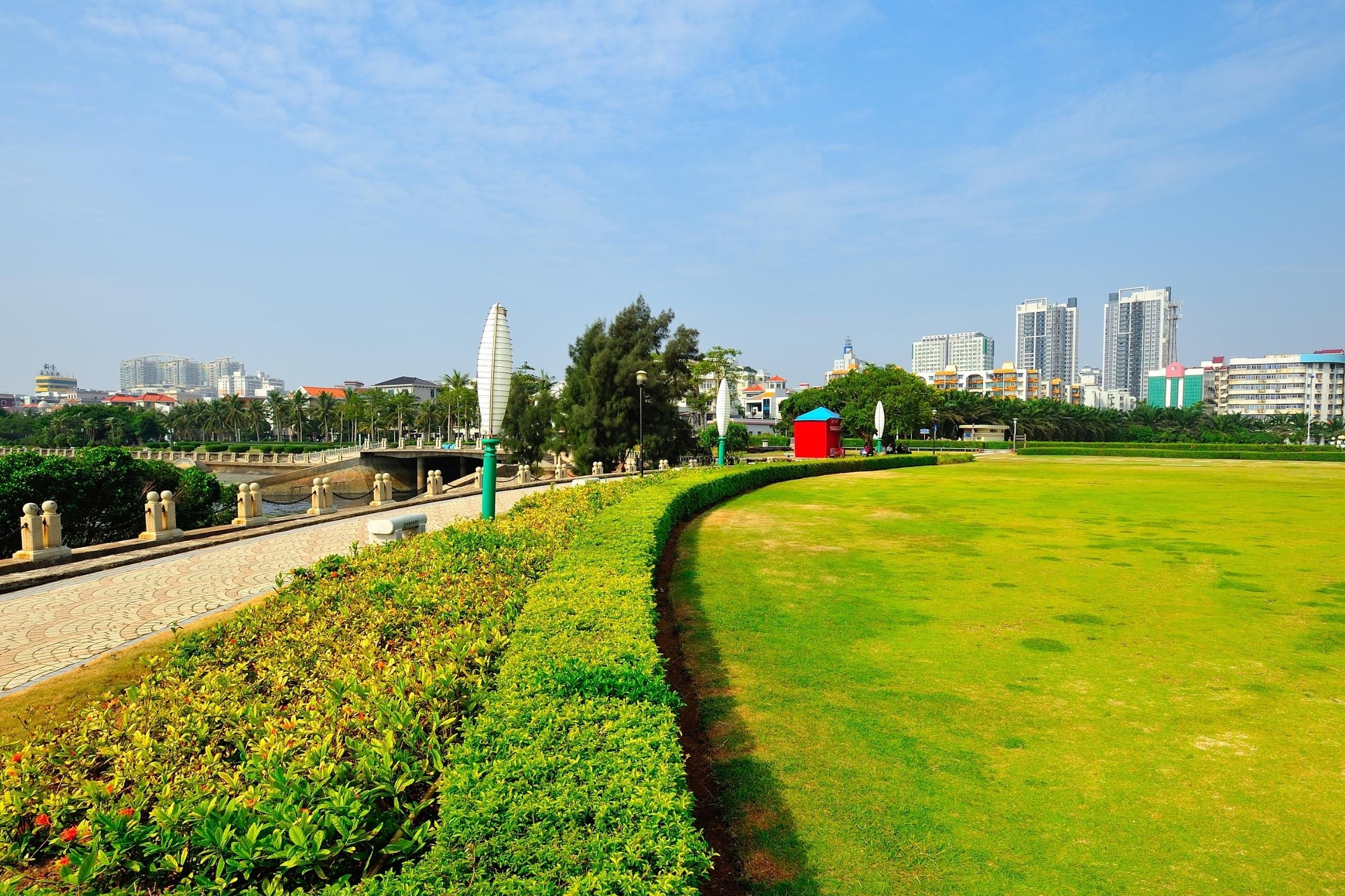
Quito from La Basilica churc. Credit: Getty images
In this context, the team of researchers led by C. Scott Watson from the School of Earth and Environment, University of Leeds and colleagues from the College of Social Sciences and Humanities, Universidad San Francisco de Quito; the Research Centre for the Territory and Sustainable Habitat, Universidad Tecnológica Indoamérica; the Urban Information Centre of Quito and the Latin American Faculty of Social Sciences, Quito; used satellite data and other datasets to look into Quito’s recent historical urban expansion, project future urbanisation scenarios and intersect these with the existing natural hazards to find green spaces with potential for reducing disaster risk in the city.
“Our work shows that future urbanisation projections suggest an increasing intersection between urban areas and areas of high landslide susceptibility which means that risk-informed policies are needed to mitigate these risks”.
Watson, C. Scott et al, 2022.

(a) 3D perspective showing urban growth for 1986–2020 and land cover. (b) Quito’s urban area in 2020 compared to modelled future urbanisation (F-U) (Bonilla-Bedoya et al., 2020b) and a modified scenario (M-U). Watson, C. Scott et al, 2022
In spite of the rising risk in Quito’s urban developments, Tomorrow’s Cities team found that most of the residents has good access to green spaces. “We found that 98% (2.3 million) of Quito’s population lives within 800m of a greenspace and 88% (2.1 million) within 800m of what we considered DRR greenspace”.
For the study, researchers considered “DRR green spaces” DRR green spaces” areas which are accessible with less than a 10 min walk (800 m), vegetated, 10 m away from a road to exclude road verges, and comprise low gradient open ground. Overall, the currently designated green and safe spaces could only be used by 2% of Quito’s population if required for emergency refuge. Tomorrow’s Cities research expanded that capacity, and the new identified DRR-ready green spaces are able to accommodate over 40% of Quito’s population in 1381 sites spread around the city and covering 18.6 km2 – 6% of the urban zone.
The team also found a social disparity in the access to these greenspaces. While with low-income groups have access to areas that provide 3m2 of safe space per person, higher income groups can count with more than 2.5 times that area. However, future developments can change this panorama as “low-medium income groups have the greatest opportunity for future designation of DRR green space due to their location on the city periphery in areas of lower population density”, the study concludes.

Greenspace mapped with classified potential DRR green space (black and red circles, pink shading). Red circles indicate DRR greenspace that intersect with areas of high landslide susceptibility.Watson, C. Scott et al, 2022
By using satellite data together with historical and urban planning data, Tomorrow’s Cities researchers demonstrated that this workflow can be used in other urbanising cities not only to inform urban development policies that consider multi-hazard risk and restrict development in hazardous areas, but also to promote equitable access to green spaces.
Read and download the full article.
Share Article
More Stories