
- Close
03/02/2021 | Quito
Tomorrow’s Quito partner with Quito City Museums Foundation
Article by:
Share Article


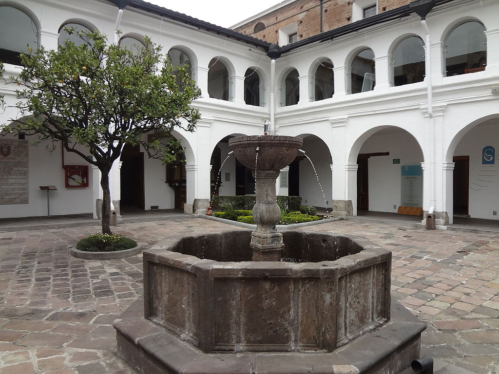
As part of the partnership between the Quito City Museums Foundation and Tomorrow’s Cities Quito, a series of activities have been planned with museums across the city, aimed at co-producing knowledge and generating educational activities for diverse audiences.
On 18 January, Tomorrow’s Quito history researchers held a meeting with Museo del Carmen Alto to plan educational strategies to generate a culture of disaster risk reduction and reflect on the relationship between natural hazards and religiosity.
One of the distinctive features of Tomorrow’s Quito’s work is the inclusion of historical research on the intensive and extensive natural events that have primarily affected Quito and Cayambe over the long term and which have led to changes in public policy and the creation of institutions dedicated to risk management. This historical perspective seeks to understand the structural factors – economic, social and cultural – behind the construction of risk, in order to design more effective interdisciplinary intervention strategies to achieve the desired impact.
Click here to find out more about Tomorrow’s Quito
Click here to follow Tomorrow’s Quito on Twitter
Photo: David Adam Kess
Share Article

_pic._2b.JPG)