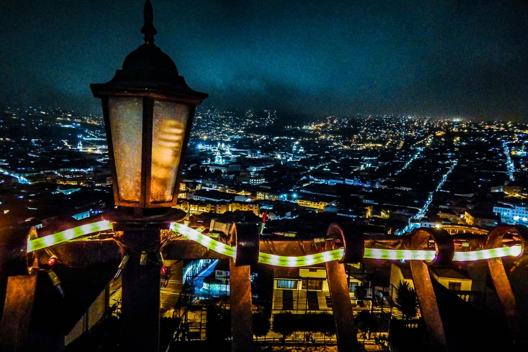
In an innovative study conducted as part of Tomorrow's Cities Hub, researchers led by C. Scott Watson have unlocked a new dimension of disaster risk reduction and urban development through the analysis of night-time satellite imagery. Focused on Quito, Ecuador, the research delved into the impact of artificial light at night (ALAN) on increasing urban expansion and its correlation with the level of socio-economic development.
Artificial light at night and disaster risk reduction.
The presence of artificial light at night has long proven to be a crucial factor in disaster risk reduction, as it enables the monitoring of light disturbances and facilitates community recovery in the aftermath of disaster events. Similarly, previous studies found connections between the brightness of city lights at night and socio-economic information like population and economic development, data that allows researchers to use satellite images to study and understand the demography of cities. The latest advancements in satellite sensors, which now offer higher resolution imagery (1.5 m) capable of identifying individual light sources and their multi-spectral capabilities with red, green, and blue bands allowing for the inference of lighting types, such as energy-efficient LED sources, are now opening new frontiers to this type of research.
With that in mind, Tomorrow’s Cities researchers carried out a study in Quito, a city facing a diverse range of natural hazards such as earthquakes, volcanoes, landslides, and floods. By assessing the night-time lighting patterns, they gained insights that can enhance community resilience and improve disaster response strategies.
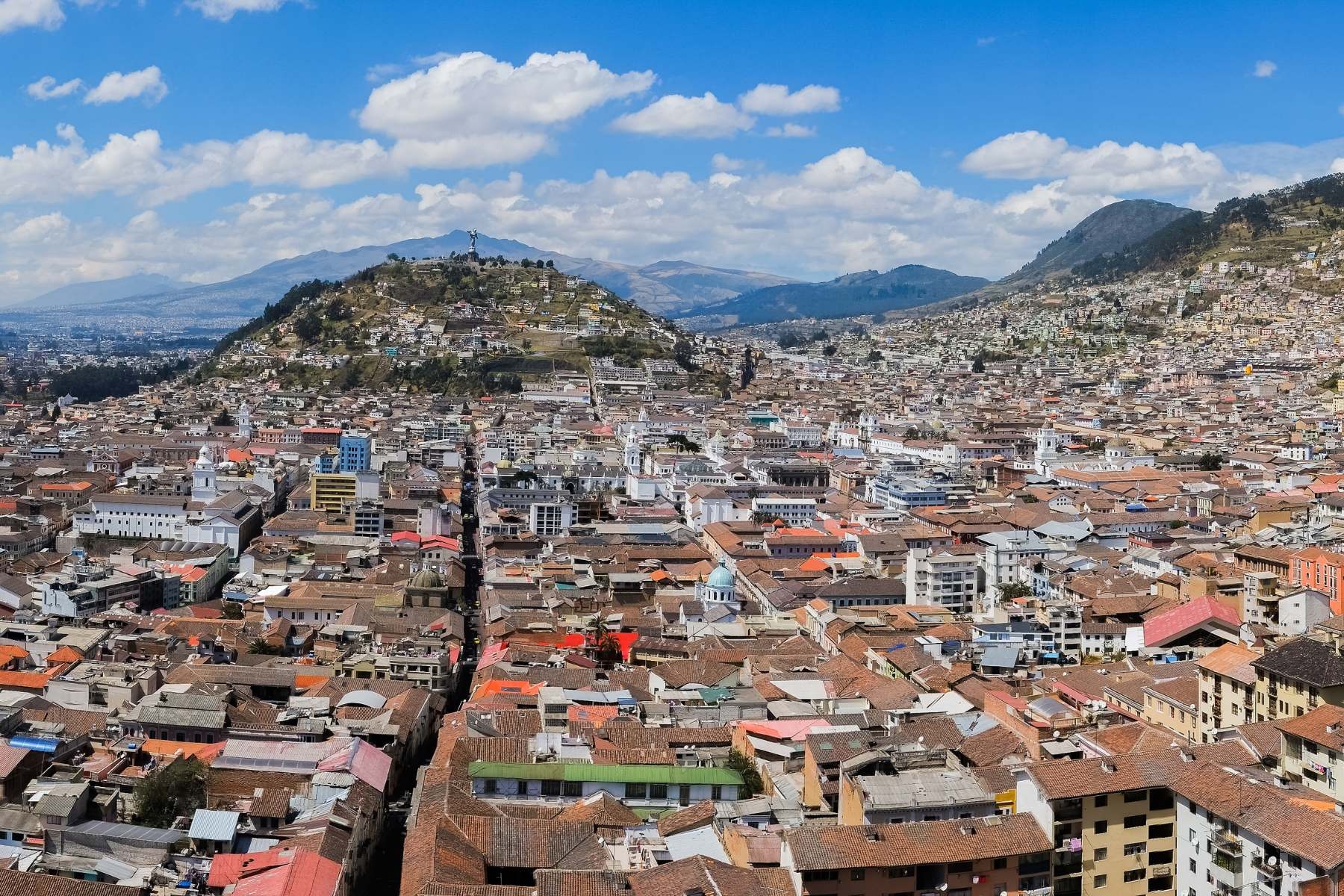
"We wanted to explore the capabilities of these new satellite sensors using Quito as a case study. The city's diverse landscape, including areas of informal development and high economic activity, provided an ideal setting to assess lighting trends and understand the relationship between light patterns and urban expansion."
- Dr. C.Scott Watson
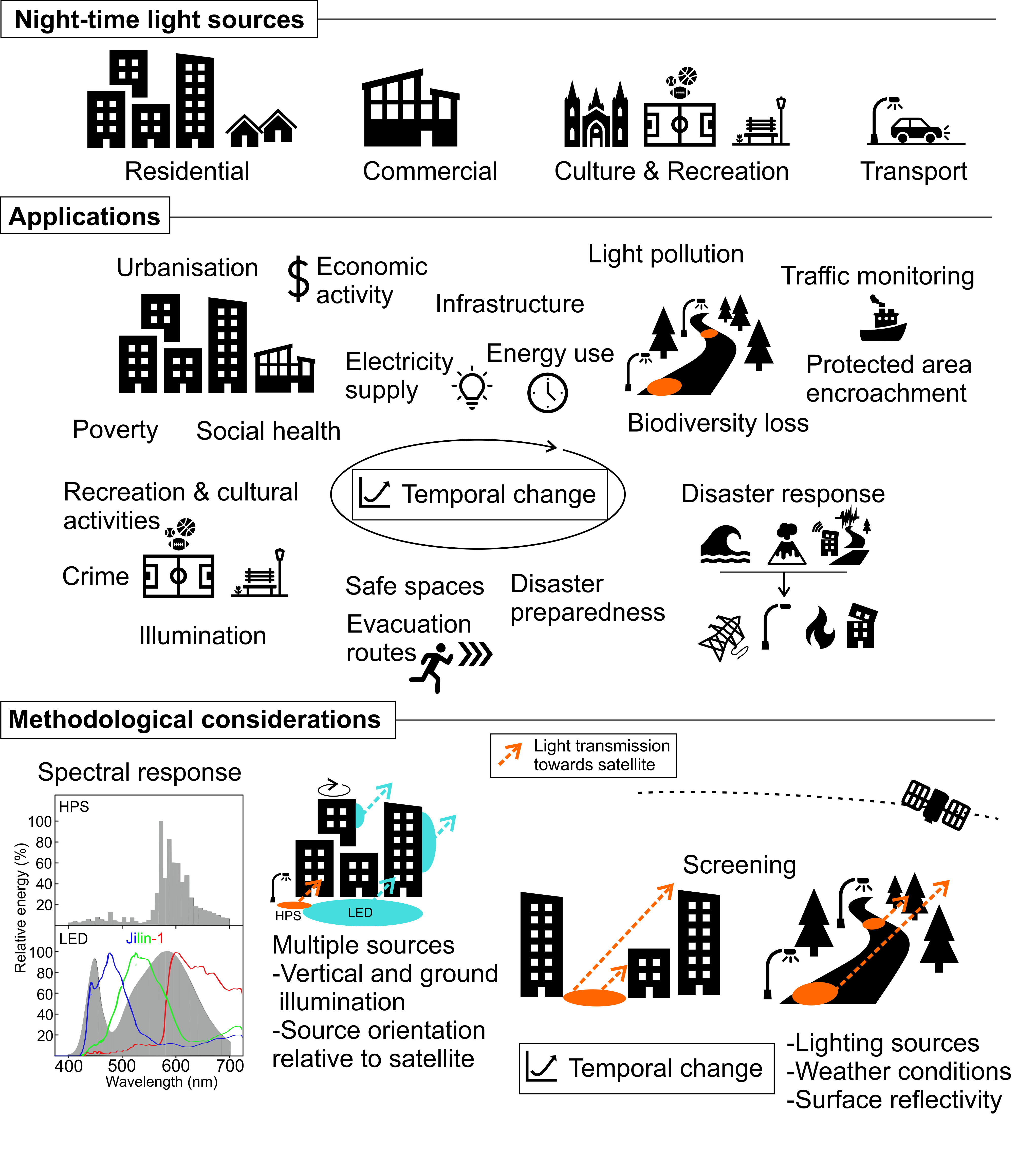
Sources, applications, and methodological considerations when using night-time light satellite imagery in a built environment. Illustrative spectral response plot shows light sources (high-pressure sodium and light-emitting diode) and Jilin-1 bands adapted from Pawson and Bader (2014) and Cheng et al. (2020) respectively.
The core problem addressed in the research was how satellite-derived observations of lighting could reveal trends of socio-economic development and differentiate between residential and commercial land use in a rapidly expanding city like Quito. To do this, our team employed a high-resolution (1.5 m) colour satellite image captured at night and developed a novel methodology capable of identifying and classify individual streetlights. In this way, Dr. Watson and his team distinguished between traditional high-pressure sodium (HPS), typically used in residential areas, and energy-efficient LED sources, more common in commercial areas.
The research found that the roads in the city have a big impact on how much light is present at night. About 45% of the brightly lit areas come from the roads, while the built-up areas, like buildings and houses, contribute to about 23% of the brightness. The brightness of the light was also linked to how developed different areas were. Places with higher socio-economic status, which means they are more economically developed, had more LED lights, brighter road lighting, and overall, more intense lighting in their buildings and neighbourhoods. They also had better-lit green spaces.
"Our findings have broad relevance for disaster risk reduction and city planning. Understanding the spatial trends of lighting in correlation with socio-economic development allows for targeted urban planning and resource allocation.”
- Dr. C. Scott Watson
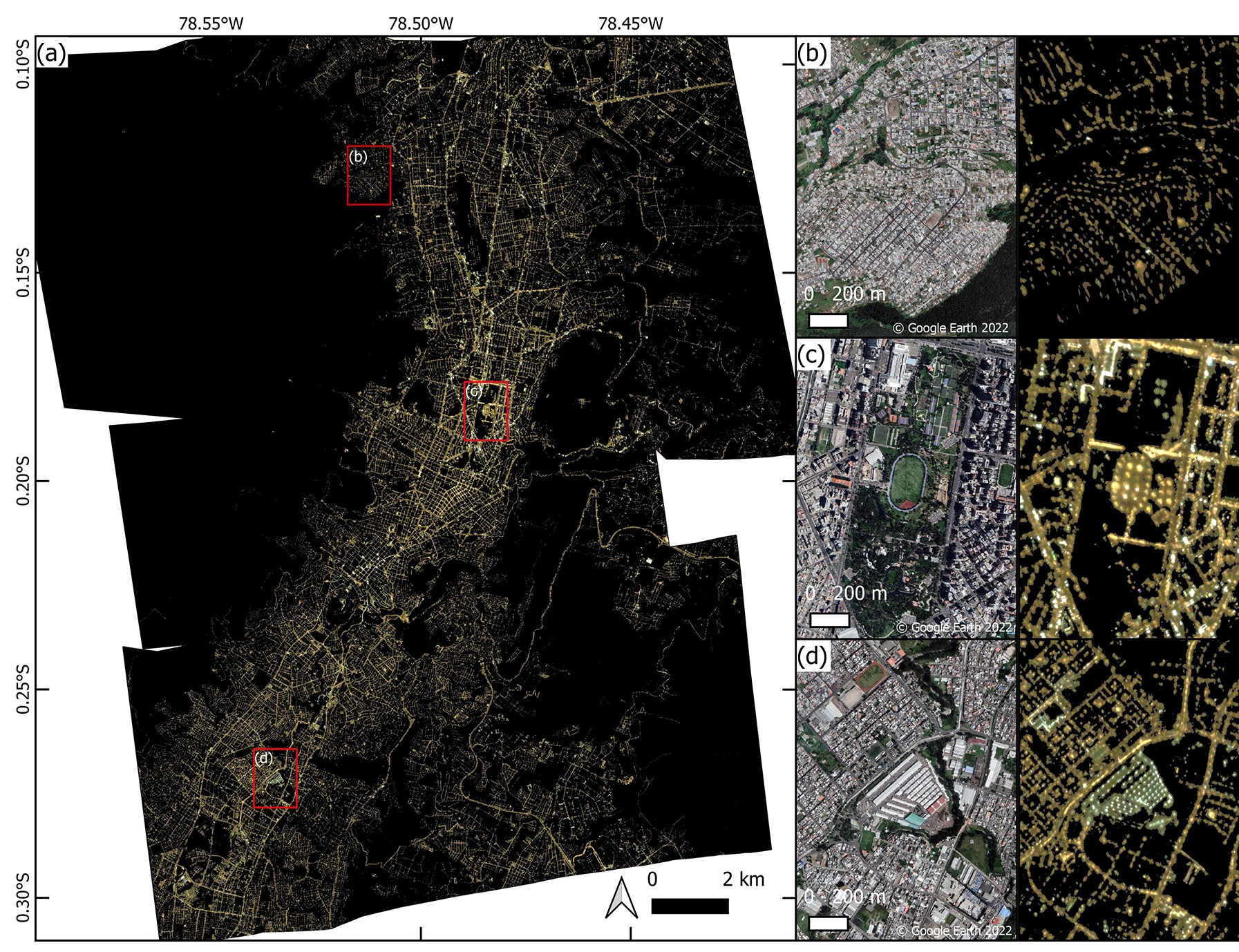
Overview of the Quito night-time images. (a) Orthorectified night-time imagery. (b) Atucucho neighbourhood shown in Google Satellite basemap imagery (left) and night-time image (right)(latitude: 0.12549°S, longitude: 78.51294°W). (c) La Carolina park (latitude: 0.18316°S, longitude: 78.48447°W). (d) Municipal Wholesale Market (centre of image) surrounded by residential development (latitude: 0.27144°S, longitude: 78.53409°W).
Night-time satellite imagery presents a cost-effective tool for monitoring Sustainable Development Goals (SDGs) including poverty (SDG 1), energy (SDG 7), inequalities (SDG 10), and sustainable cities and communities (SDG 11), particularly where informal settlements develop without state-provided infrastructure.
Moving forward, more night-time satellite imagery acquisitions over time could be used to assess how city planning policies shape the urban areas. For instance, it could aid in reducing light emissions and modernizing lighting infrastructure to promote energy efficiency. Moreover, in the event of a disaster impacting the power grid, night-time satellite imagery can help identify areas with power outages or alternatively areas which are still lit, thus facilitating timely response and recovery efforts.
With the potential to bolster disaster resilience and urban planning, this study sets a promising precedent for leveraging night-time satellite imagery in shaping a more sustainable and resilient future for cities worldwide.