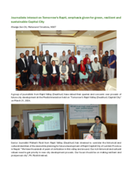
"We are planning the new provincial capital city of Rapti and the collaboration with Tomorrow’s Cities provides an opportunity, not only to work with international experts, but also to deploy a framework that includes the voices of the local residents in shaping our provincial capital. Together we will build a safer Rapti."
Chhabi Raj Pokhrel, CEO, Provincial Infrastructure Development Authority (PIDA), Lumbini Province, Nepal
Summary
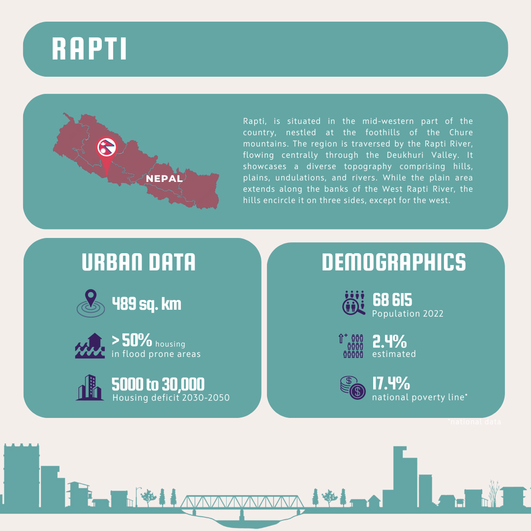
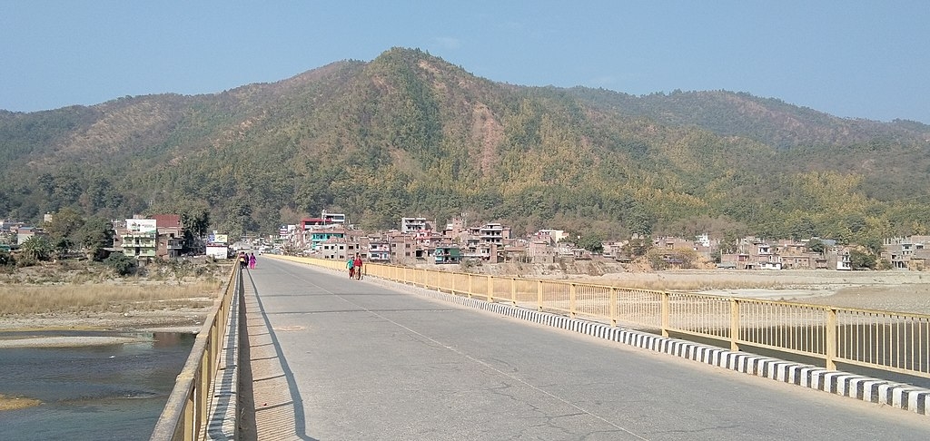
Lumbini Provincial Capital City (LPCC), Rapti, is situated in the mid-western part of the country, nestled at the foothills of the Chure mountains. The region is traversed by the Rapti River, flowing centrally through the Deukhuri Valley. LPCC was formed by merging the areas of Rapti Rural Municipality, Gadhawa Rural Municipality, and Shitaganga Municipality, encompassing a total area of approximately 480 sq.km.
The region has a diverse topography comprising hills, plains, undulations, and rivers. While the plain area extends along the banks of the West Rapti River, the hills encircle it on three sides, except for the west.
The population of Rapti City is around 68,615, distributed across several wards and ethnic groups, with the majority being Tharu in Gadhawa Rural Municipality and Brahmin & Chhetri in Rapti Rural Municipality, along with Magar and Kumal communities.
Rapti faces multiple natural hazards, including seismic activity, floods, landslides, and fires.
Challenges
Hazards
Lumbini Province is exposed to various geophysical and hydro-meteorological extreme events, as well as climatic and non-climatic hazards which have the potential to escalate into disasters. Major hazard events in the region include landslides, floods, fires, disease outbreaks, road accidents, droughts, thunderstorms, and dry windstorms but also earthquakes, prevalent in all of Nepal’s territory. These events have had a negative impact on natural resources, diminished livelihood opportunities for the local population, reduced income generation, and exacerbated their suffering.
Flooding: According to a recent study conducted by USAID in 2019, the middle Rapti Watershed Profile indicates that the area from Khururiya to Bhalubang is highly susceptible to floods, while the region from Bhaluwang to the upper stream of the river experiences fewer flood events. Settlement areas at Khuriya and Bhalubang will be more severely affected by floods compared to the upper stream. As the river meanders downstream from Bhalubang to the lower sections in Rapti Rural Municipality and Gadhawa Rural Municipality towards the west, the intensity of flooding will increase. Additionally, the majority of riverbanks along the West Rapti River are vulnerable to flooding, especially when considering a flood occurrence over a 100-year period.
Landslides: A comprehensive study has identified numerous landslide-prone areas in the Rapti region, encompassing both Rapti Rural Municipality and Gadhawa Rural Municipality. Within Rapti Rural Municipality, the western riverbanks exhibit a higher vulnerability to flooding compared to the middle and eastern sections. Similarly, the southern bank of the river, situated in Gadhawa Rural Municipality, is particularly prone to flooding.
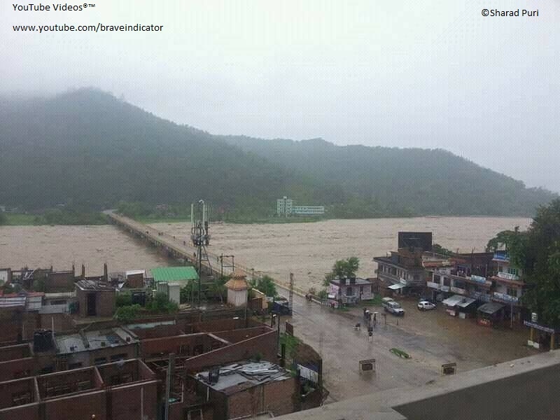
Flooding in Rapti
Climate Change
According to climate data analysis from 1971 to 2014, all districts within Lumbini Province in Nepal have experienced an increase in annual precipitation during winter, pre-monsoon, and monsoon seasons. However, there are significant variations in monsoon precipitation among the districts (OPM, 2019). Additionally, there has been a positive trend in rising annual minimum and maximum temperatures across all districts of the province. Future projections indicate that precipitation is expected to continue increasing in all districts.
Climate change is anticipated to heighten the frequency and severity of hazards and disasters in the future. The projected increase in the number of wet days is likely to trigger flash floods and landslides, posing significant threats to both human and natural ecosystems.
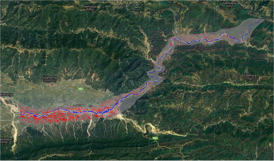
Flooding projections for 100 years into the future (Source: USAID, 2019).
Future Rapti
The Provincial Government and Local Governments are collaborating to develop the Lumbini Provincial Capital City (LPCC), also known as Rapti City.
The Provincial Infrastructure Development Authority (PIDA) is leading the process of creating a Master Plan and overseeing the construction of the new city. PIDA is an autonomous organization established by the council of ministers in Lumbini Province to implement important infrastructure projects identified and prioritized by the Province.
The primary goal of PIDA is to fast-track the implementation of these projects, which will significantly contribute to the development of the Province. PIDA aims to effectively mobilize public, private, and external investors for the infrastructural development of the LPCC, or Rapti City.
What can Tomorrow’s Cities bring to Rapti?
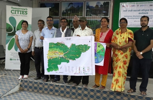
The Provincial Infrastructure Development Authority (PIDA) recognized the advantages of collaborating with Tomorrow's Cities to ensure the future Rapti City is resilient to disasters. We have agreed to work together to incorporate the Tomorrow's Cities Decision Support Environment into the development of the Lumbini Provincial Capital City (LPCC) in the Rapti Valley.
This collaboration aims to leverage the expertise and resources of both entities to implement effective strategies and measures that will contribute to the overall resilience and sustainability of the LPCC in the face of potential hazards and challenges.
Key stakeholders
City Stakeholders
Provincial Infrastructure Development Authority (PIDA), Lumbini Province, Nepal
Rapti Rural Municipality (RRM)
Gadhwa Rural Municipality (GRM)
Shitaganga Municipality (ShM)
Local Research Team
Centre for Disaster Studies, Institute of Engineering, Tribhuvan University (CDS/IOE/TU)
National Society for Earthquake Technology-Nepal (NSET)
Southasia Institute for Advance Studies (SIAS)
Practical Action Nepal (PA)
Nepal Development Research Institute (NDRI)
